Maps of states: polygons and hexagons
statesmaps.RdMaps of states: polygons and hexagons
statesmapsFormat
A data frame of 51 states and 8 variables:
- state_name
Name of the state
- state_abbv
two-letter abbrevation of state
- state_fips
character value of the fips code
- piece
integer value enumerating different pieces of a state's area
- hole
TRUE/FALSE - does the polygon describe a hole?
- group
id for the corresponding polygon piece
- polygon
list of data frames with polygon points
- hexagon
list of data frames with hexagon points
Source
hexbin map: https://raw.githubusercontent.com/holtzy/D3-graph-gallery/master/DATA/us_states_hexgrid.geojson.json; states map from https://github.com/UrbanInstitute/urbnmapr
Examples
library(ggplot2)
library(tidyr)
statesmaps %>% unnest(col=hexagon) %>%
ggplot(aes( x = long, y = lat, group = group, fill=state_name)) +
geom_polygon() +
theme_void () +
coord_map () +
theme(legend.position="none")
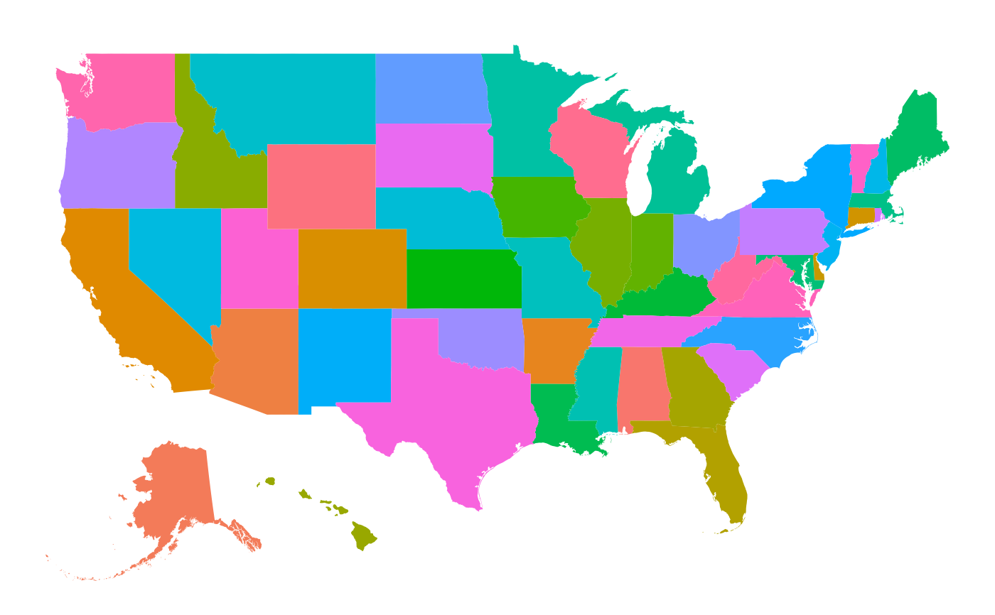
 statesmaps %>% unnest(col=polygon) %>%
ggplot(aes( x = long, y = lat, group = group, fill=state_name)) +
geom_polygon() +
theme_void () +
coord_map () +
theme(legend.position="none")
statesmaps %>% unnest(col=polygon) %>%
ggplot(aes( x = long, y = lat, group = group, fill=state_name)) +
geom_polygon() +
theme_void () +
coord_map () +
theme(legend.position="none")